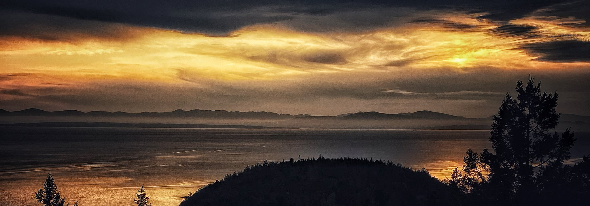

Keats Island is considered a medium sized island with an area of ca. 6.32 km2 and located in the Sailish sea. Modified and non forested landscape covers ca. 0.27 km2 (4.3%) of the total land surface. There are two areas considered as parks, which cover 0.19 km2 (3.08%) of the island. Part of the resilience of Keats' ecosystem can be attributed to a low density population and seasonal visitors. There are pockets of habitation, including Eastbourne, Melody Point and around Keats Camp, but a lot of it is empty. The island has trails that traverse much of the rest of the Island, but many of those trails are on private land.
Eastbourne is comprised of 220 small, privately owned lots and most have a cottage or house on them. There are about 30 – 40 full time residents in Eastbourne and that number is growing. In the summer months there could easily be 300 – 400 people in Eastbourne, especially on a long weekend. Eastbourne has a community water system, firefighting equipment and a dock. The community has a number of beaches, some of which are designated parkland such as West Beach. There are no services in any of the parks and the community maintains stairs and paths to the various beaches.
To the north and west of Eastbourne are a number of 10 acre parcels that are all privately owned. Most have residences on them, although some are used as woodlots or are unoccupied. They surround the 33 acre park. Six are waterfront properties – 3 on the north end and 3 on the south end (adjacent to Andy’s Beach). Private wells provide water to these properties._JB35557
There are approximately 25 lots on the north of the Island between Barnabas Camp and Cotton Point. They all have narrow water front and can be accessed by water or on foot. These properties are not connected to the Hydro grid.
A number of cabins surround Melody Point between Barnabas and Plumper Cove Provincial Park. They are mainly water access, although the Barnabas Road does link up to some of them. They have a self-managed water system and common uphill property.
There are a number of water front properties between Plumper Cover Marine Park and the Keats Camps leaseholders. These properties are mostly long and narrow, extending well up towards Highest Peak. There is a well-established trail running behind these properties to Plumper Cover and Islands Trust is working on getting this trail dedicated as parkland. For the most part, these properties are foot or water access only.